Land Navigation
Location: Gallant, Alabama
December 5-6, 2026
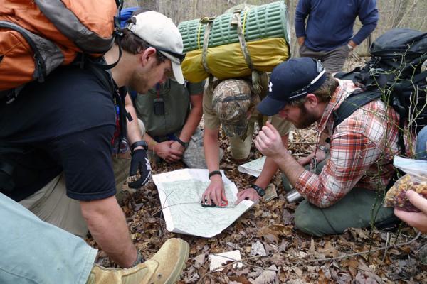
This 2-day class is designed to teach the student how to use map and compass with confidence. It covers map reading, terrain association, shooting and following an azimuth, back azimuths, intersection, resection, baselines, magnetic declination, map grids, and using a map with a GPS. The field exercise is a nav course where the students utilize what they have learned in the classroom. Even if you have never held a compass before you will walk away knowing how to use a map and compass in a wilderness environment.
We suggest looking over our classroom PowerPoint before arriving for the class. You can also take our quick practice test.
This is a popular class and usually fills quickly. We have a limit of 12 students per class.
GEAR REQUIREMENTS:
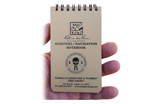
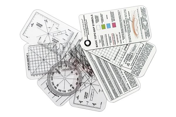
Mirrored baseplate compass, pace count beads (optional), hiking boots, cap or bandana, small day pack, clothing appropriate for the season, water container, rain gear (class goes forward rain or shine), lunch or snacks easily prepared in the field. Students will receive a RAT Pocket Navigation Notepad at the beginning of the class that has all the grid readers required for this class. Upon successful completion of JPRs (Job Performance Requirements), a certificate of training is awarded to the student. Class begins at 0800 and finishes each day once the student has finished all objectives.
If you are a member of Randall’s Adventure & Training Search and Rescue, there is no charge for this class. Please email Patrick below to add your name to the class roster.
For more information contact Patrick Rollins: Ph: (256) 613-3834, email: patrick@randallsadventure.com. Please read the FAQs before signing up.